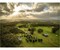
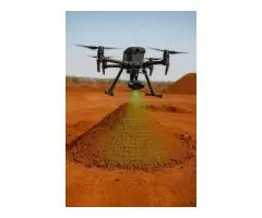
Drone Survey | Drone Survey Mapping Solutions | AUAV in Melbourne, Victoria
Get advanced drones for survey projects nationwide. AUAV deploys drones all over Australia. Our UAV services include everything from volumetric calculations, 3D mapping, and terrain modeling. We use state-of-the-art LiDAR technology with centimeter-level accuracy.